QUICK TAKE | What Is Cyclone Akvan and Which Areas Could It Affect? Seven Things to Know
1. What exactly is Cyclone Akvan?
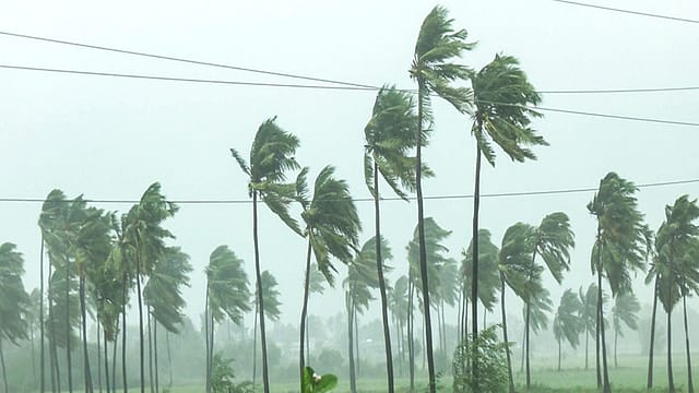
Akvan is a tropical cyclone over the central parts of the south and adjoining west-central Bay of Bengal. Cyclones are rotating weather systems that develop over warm ocean waters and can bring strong winds, heavy rainfall and rough seas.
2. Where did the name Akvan come from?
Iran contributed the name Akvan to the regional list of cyclone names maintained under the WMO/ESCAP Panel on Tropical Cyclones. The IMD assigns names to qualifying storms over the North Indian Ocean. The name helps identify and communicate information about the storm.
3. Where is the cyclone currently located?
According to the IMD's November 17 bulletin, Akvan was centred near latitude 12.2°N and longitude 85.7°E. It was approximately 610 km east of Chennai, 660 km southeast of Machilipatnam, 670 km south-southeast of Visakhapatnam and 790 km south of Gopalpur in Odisha.
4. When and where could it make landfall?
The IMD forecasts that Akvan will cross the Andhra Pradesh and Yanam coasts between Nellore and Tuni around noon on November 20. It is expected to intensify into a severe cyclonic storm by November 17 evening and a very severe cyclonic storm by November 19 morning. The forecast may change.

The Wealth Issue 2026
06 Nov 2026 - Vol 05 | Issue 45
Portraits of Dreamers and Doers under 35
5. How strong could the winds become?
At landfall, sustained wind speeds could reach 120–130 kmph, with gusts of up to 145 kmph. Gale-force winds are expected along the Andhra Pradesh and Yanam coasts from November 19 night.
6. Which other states could receive heavy rainfall?
Coastal Andhra Pradesh could experience isolated extremely heavy rainfall exceeding 21 cm on November 19 and 20. North Tamil Nadu, Puducherry and Karaikal may receive heavy to very heavy rainfall on November 18 and 19. Odisha could also experience heavy to very heavy rainfall at isolated places between November 19 and 21.
7. What precautions should coastal residents take?
The IMD has warned of a possible storm surge of 1–2 metres above the astronomical tide in low-lying areas of Prakasam, Bapatla, Krishna, West Godavari, Konaseema and Kakinada districts. An Orange Message has been issued for the Andhra Pradesh and adjoining south Odisha coasts. Fishermen have been advised not to venture into affected sea areas. Coastal residents should follow official advisories and evacuation instructions.